
 NEWS List
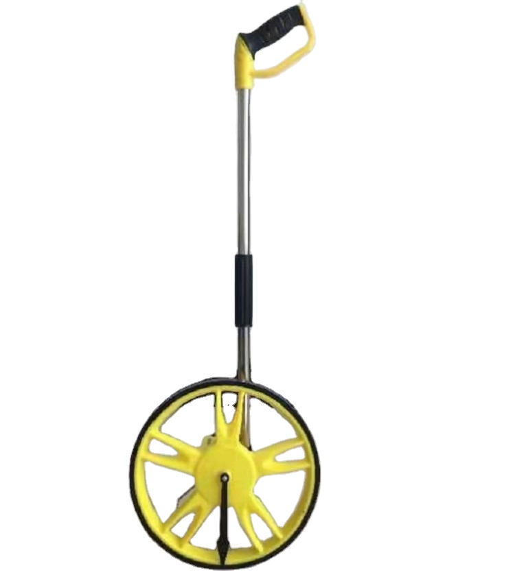
Enhancing Digital Measuring Wheel Accuracy and Data Management Practices
Preface
In fields such as municipal engineering, highway inspection, and construction, digital measuring wheels serve as critical distance measurement tools. Their accuracy control and data management capabilities directly impact engineering efficiency and quality. This article, based on high-precision brand selection strategies, systematically explores the technical paths for improving digital measuring wheel accuracy and innovations in data management, supported by practical case studies.
1. Accuracy Control Technologies: Multi-Dimensional Correction Mechanisms for Sub-Millimeter Precision
High-precision digital measuring wheels achieve dynamic error correction through three core technologies:
High-Contrast Display: Utilizing E-ink electronic paper or high-brightness LED backlighting, these displays maintain clear visibility under strong light (e.g., 10,000 lux), reducing manual reading errors. Certain brands optimize contrast algorithms to achieve over 90% readability under direct sunlight, tripling the viewing distance compared to traditional LCD screens.
Dynamic Calibration Algorithm: Integrated temperature sensors and gyroscopes monitor ambient temperature (-20°C to 60°C) and device tilt angles in real time. Temperature compensation algorithms automatically correct mechanical deformation caused by thermal expansion/contraction, limiting temperature-induced measurement deviations to ±0.05%—an 80% improvement over static calibration methods.
Anti-Slip Texture Design: Diamond-patterned anti-slip textures on the wheel rim, combined with high-elasticity rubber materials, enhance grip by 30%. This design minimizes slip-induced distance errors on wet or sloped surfaces, stabilizing single-measurement errors within ±0.1%.
2. Data Management Features: Full-Cycle Digitalization for Data Closure
Modern digital measuring wheels employ intelligent data management systems to support multi-scenario data collection and cloud collaboration:
Unit Conversion & Mode Separation: Built-in dual-unit systems (meters/feet) allow one-click switching, while cumulative and single-measurement modes store data independently to prevent overlap. For instance, in highway inspections, cumulative mode tracks total mileage, while single-mode captures precise coordinates of defect points.
Power-Loss Data Protection: Non-volatile memory chips preserve stored data for over 10 years, even during unexpected power outages. Paired with lithium batteries and solar charging panels, devices achieve over 300 hours of continuous operation, meeting long-duration engineering demands.
Bluetooth Cloud Transmission: Low-power Bluetooth 5.0 modules enable real-time data uploads to cloud platforms. Managers can monitor project progress remotely via PC/mobile apps and generate heatmaps or trend analysis reports from historical data, creating a closed-loop system from data acquisition to decision support.
3. Case Study: 40% Efficiency Gain in Shenzhen Highway Inspection
In 2025, a Shenzhen municipal project deployed high-precision digital measuring wheels for 183,600 kilometers of highway inspection. Dynamic calibration algorithms and anti-slip textures reduced misreading rates to 0.5%—a 20-fold improvement over traditional mechanical wheels. Cloud-based data synchronization allowed real-time updates to command centers, enabling teams to adjust inspection routes instantly and boosting data collection efficiency by 40%. This project demonstrates the reliability and cost-effectiveness of high-precision digital measuring wheels in long-distance, complex environments, setting a benchmark for urban infrastructure digital management.
Conclusion: With advancements in IoT and AI, digital measuring wheels are evolving from simple distance tools into intelligent data terminals. Brand selection should prioritize accuracy control technologies, data management capabilities, and technical expertise. Opting for brands with dynamic calibration algorithms and cloud collaboration features ensures simultaneous improvements in efficiency and quality for engineering applications.
High-Precision Measuring Wheel in Land Surveying and Engineering Layout: Value and Application
Source: Renren Library Engineering Surveying Technology Application and Case Sharing
In the field of land surveying and engineering layout, the high-precision measuring wheel, integrating advanced technologies and achieving millimeter-level accuracy, has become a pivotal tool for enhancing operational efficiency and quality. Based on the technical features, application cases, and precision verification methods outlined in Engineering Surveying Technology Application and Case Sharing, this article systematically elaborates on its value across scenarios such as land exploration, heritage conservation, and farmland consolidation.
1. Technical Features: Multi-Modal Integration for Millimeter Accuracy
The core advantage of the high-precision measuring wheel lies in the synergy of multiple technical modules. Its laser ranging module achieves ±2mm precision by emitting pulsed lasers and calculating echo time to rapidly acquire spatial coordinates of target points. Combined with the three-coordinate positioning algorithm, the device constructs an accurate 3D coordinate system, ensuring spatial consistency of measurement data. In land exploration, tilt photography-assisted calibration technology—using drones equipped with oblique photography cameras to capture multi-angle images—generates high-precision terrain models via image matching and 3D reconstruction algorithms, effectively overcoming limitations of traditional methods in complex terrains.
The integration of electronic measuring wheels with BIM models enables intelligent engineering layout. By comparing real-time coordinate data collected by the measuring wheel with design parameters in BIM models, the system automatically calculates verticality deviations, ensuring they are controlled within H/2000. This feature is critical for high-rise buildings, bridges, and other structures requiring strict verticality, minimizing rework risks caused by layout errors.
2. Application Cases: Cross-Scenario Practices from Heritage Protection to Farmland Consolidation
In a historical and cultural block renovation project in Beijing, the 3D laser scanning function of the high-precision measuring wheel played a key role. The project team scanned the intricate(dougong) structures of ancient buildings, reconstructing their complex surfaces and structural details through point cloud data. Compared with total station data, the deformation monitoring accuracy reached ±3mm, providing reliable data support for protective restoration and digital archiving of cultural heritage.
In farmland consolidation projects, the wheel’s efficient boundary surveying capability was fully demonstrated. By traversing field boundaries, it rapidly collects continuous coordinate points and automatically generates boundary maps via GIS software. Field tests confirmed area errors within 0.5%, significantly outperforming traditional manual methods. This outcome holds substantial economic value for land rights confirmation and farmland planning, enhancing land resource utilization efficiency.
3. Precision Verification: Cross-Checking with Multiple Devices for Data Consistency
To ensure measurement reliability, the high-precision measuring wheel adopts cross-validation with total stations and RTK devices. Prior to project implementation, control points are deployed in typical survey areas, and synchronous measurements are conducted using the measuring wheel, total stations, and RTK equipment. By comparing the three datasets, systematic and random errors of the measuring wheel are evaluated. Multi-project validations show that data deviations between the measuring wheel and total stations are typically within ±3mm, and within ±5mm when compared with RTK devices, meeting precision requirements for land surveying and engineering layout. This multi-device collaborative verification approach not only strengthens data credibility but also provides a robust benchmark for subsequent data processing and analysis.
Through multi-technology integration—including laser ranging, three-coordinate positioning, and tilt photography—coupled with BIM-enabled intelligent layout, the high-precision measuring wheel demonstrates significant technical advantages and application value in land surveying and engineering layout. From heritage conservation to farmland consolidation, and from precision verification to cross-scenario practices, its millimeter-level accuracy and efficient operational capabilities are driving engineering surveying technology toward greater precision and intelligence. As innovations continue, this tool is poised to unlock further potential across diverse domains, offering robust technical support for construction projects and land management.
Source: Baijiahao "How to Choose a Brand for Digital Distance Measuring Wheels? Prioritize High-Precision Brands"